Green Lakes Trail Map
The official Green Lakes State Park trail map, made by the NYS Parks GIS Bureau and dated December 30, 2025, shows 22 named trails and connectors. Their listed lengths add up to about 24 miles. Five are foot traffic only: the Green Lake, Round Lake, Tween Lakes and Round Lake Overlook trails around the two lakes, and the Old Erie Canal Connector. The map is a free PDF on the NYS Parks park page, and NYS Parks also links it on the Avenza Maps phone app.
The Trail System at a Glance
Every Trail on the Map
In the map's own order, with its codes, blaze colours and lengths:
- BK Black Trail — black, 0.67 mi
- BS Brookside Trail — brown, 0.9 mi
- DR Deer Run Trail — purple, 2.5 mi
- FH Farmers Hill Trail — blue, 1.4 mi
- GL Green Lake Trail — grey, 1.9 mi, foot only
- IL Indian Ovens Loop — pink, 0.12 mi
- IO Indian Ovens Trail — pink, 0.79 mi
- MV Meadowview Trail — yellow, 0.3 mi
- OC Old Erie Canal Connector — brown, 0.6 mi, foot only
- OG Old Growth Trail — orange, 2.9 mi
- OGC Old Growth Connector — orange, 0.3 mi
- OL Overlook Trail — red, 1.4 mi
- PL Powerline Trail — white, 1.3 mi
- RH Rolling Hills — yellow, 1.8 mi
- RHC Rolling Hills Connector — yellow, 0.1 mi
- RL Round Lake Trail — grey, 0.9 mi, foot only
- RLO Round Lake Overlook — 0.5 mi, foot only
- SR Spruce Ridge Trail — purple, 2.8 mi
- TL Tween Lakes Trail — grey, 0.4 mi, foot only
- VA Vista Trail — green, 1.6 mi
- YJ Yellowjacket Spur — yellow, 0.2 mi
- YT Yellow Trail — yellow, 1.0 mi
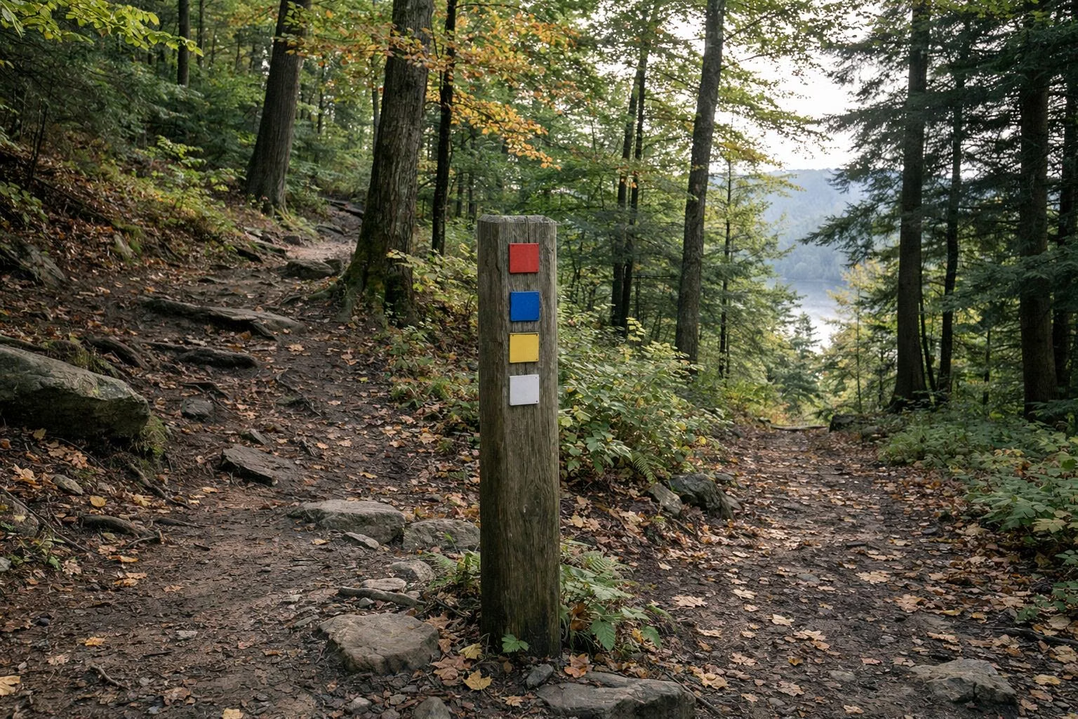
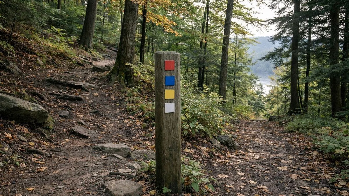
Some colours repeat (several yellows, two purples, two browns), so read the trail code on the post, not just the colour.
How the Park Is Laid Out
Think of the park in four parts:
- The lakes, in the centre. Green Lake runs north to south with the beach at its north end; Round Lake sits to the south-west. The grey foot-only trails circle both. See Green Lake Trail and Round Lake.
- The north edge, along Route 290. The main entrance, park office, park police, bathhouses and the Ladders cabins are here, with the Old Erie Canal towpath just across the road. See Old Erie Canal.
- The west woods. Deer Run, Overlook, Vista, Farmers Hill and the Black Trail loop through the hills toward Limestone Creek, with a stone foundation marked on the Overlook Trail.
- The south and east. The Old Growth, Brookside and Powerline trails head south past the golf course to the Indian Ovens; Spruce Ridge, the Yellow Trail and Meadowview loop through the land east of Pierson Road.
Entrances and Parking on the Map
- Main Entrance off Route 290 on the park's north side, for the beach, campgrounds and day use.
- Golf Course Entrance off Route 5 on the south side, marked "closed for winter."
- Pierson Road lot on the east side, for Spruce Ridge and the eastern trails.
- A lot at the west end near Route 257, for the western woods.
Landmarks the Map Names
Tulip Hill, Lakeview, the Old Admin Building, Point / Reef, the Stairs, the Environmental Education Center boathouse, the Reserve Shelter, the Pump House, the Pine Woods and Rolling Hills camping areas, the Cabin Colony, the golf course clubhouse and pro shop, the Indian Ovens and a Foundation in the western woods.
Who Can Use Which Trail
- Hikers: every trail.
- Bikes: NYS Parks lists biking trails as an amenity but says biking is not allowed around the lake trail. Stay off the five foot-only trails.
- Skiers and snowshoers: NYS Parks says about 15 miles of trail are open to cross-country skiers. See winter.
- Hunters: the park has a separate hunting map and a self-issued permit. See rules.
Reading the Map
The map warns that "all boundaries and trails are shown as approximate" and asks you to "be aware of changing trail conditions." A large area north-west of the lakes is marked "Not Open To The Public." Report accidents to State Park Police at 1 (877) 851-6086; in an emergency call 911.
Green Lakes Trail Map FAQ
Where can I get a Green Lakes State Park trail map?
Free from the NYS Parks park page as a PDF dated December 30, 2025. NYS Parks also links it on the Avenza Maps phone app.
How many miles of trails are at Green Lakes?
The map shows 22 named trails and connectors whose listed lengths add up to about 24 miles. NYS Parks says about 15 miles are open to cross-country skiers.
What is the longest trail at Green Lakes?
The Old Growth Trail, 2.9 miles, followed by Spruce Ridge (2.8 miles) and Deer Run (2.5 miles).
Which trails at Green Lakes are foot only?
The Green Lake, Round Lake, Tween Lakes and Round Lake Overlook trails, and the Old Erie Canal Connector.